Dana Schmid · 13 September 2026
Optimizing Attendee Navigation Systems in Waterfront Sports Venues
Waterfront sports venues face unique navigation demands because attendees arrive by boat, ferry, or foot along shorelines while also contending with changing water levels, weather patterns, and dense crowds during events. Research from venue management associations shows that effective systems combine digital wayfinding apps, beacon networks, and adaptive signage to reduce average walk times by 15 to 25 percent in comparable facilities. These setups track real-time crowd density through sensors embedded in walkways and pier structures, then adjust directional prompts accordingly. Data collected at multiple coastal stadiums indicates that water-adjacent entry points create bottlenecks when traditional static maps fail to account for tide schedules or temporary dock closures. Engineers address this by integrating tide and weather feeds directly into mobile platforms so that attendees receive updated routing suggestions before they even reach the venue perimeter. One study conducted across European and North American sites found that venues using synchronized multi-modal data cut missed connections between land and water transport by nearly one-third.Core Components of Modern Systems
Navigation platforms typically rely on a layered approach that starts with outdoor positioning accurate to within three meters along piers and boardwalks. Indoor positioning takes over once attendees pass through main gates, where Wi-Fi triangulation and ultra-wideband beacons guide movement through concourses. Researchers note that combining these layers prevents the signal loss common in steel-and-concrete waterfront structures where GPS alone drops out.
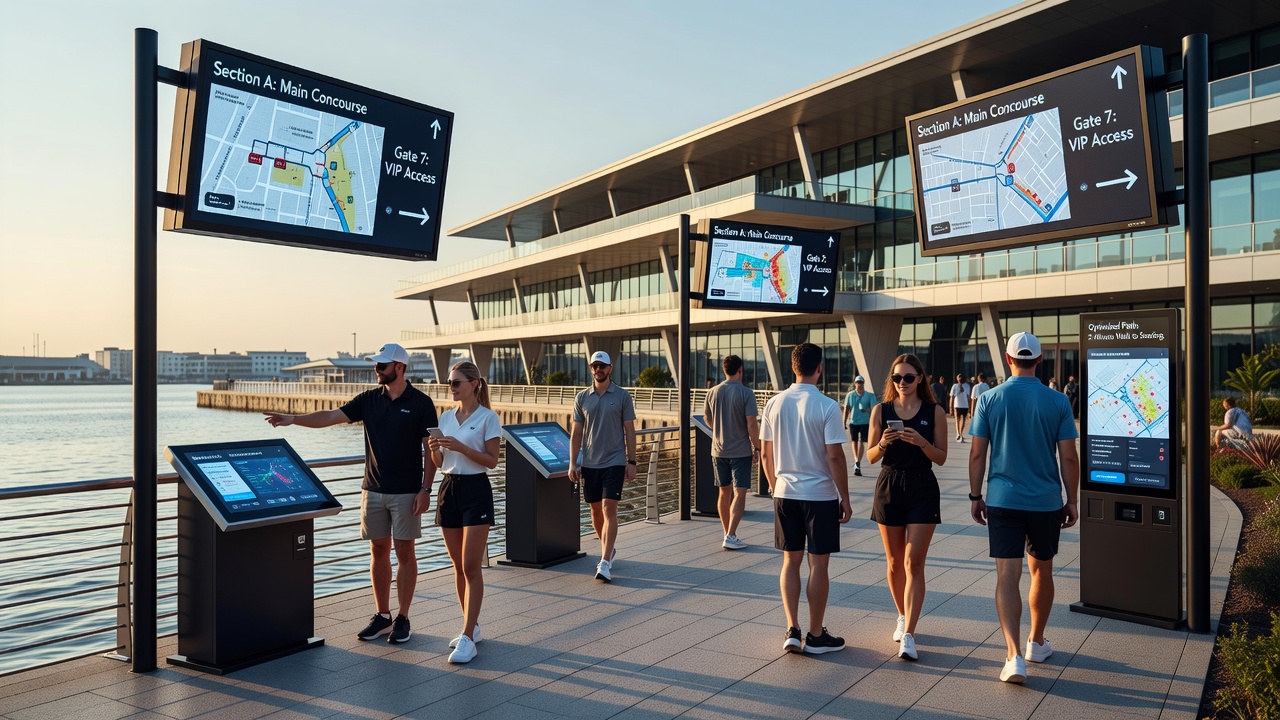
Dynamic digital signage forms another essential layer. Screens positioned at key decision points update content based on live occupancy data, directing flows toward less congested ramps or alternate boat pickup zones. Figures from the International Association of Venue Managers reveal that venues installing such responsive displays recorded a measurable drop in attendee inquiries at information desks during peak arrival windows.
Integration with Transportation Networks
Many waterfront venues sit at the intersection of public transit, rideshare zones, and private marinas, which means navigation tools must coordinate schedules across these modes. Systems that pull ferry timetables and parking availability into a single interface allow attendees to plan entire journeys rather than isolated segments. Canadian transportation studies highlight that such unified interfaces improve on-time arrival rates when events coincide with high tourist traffic along harbor routes.
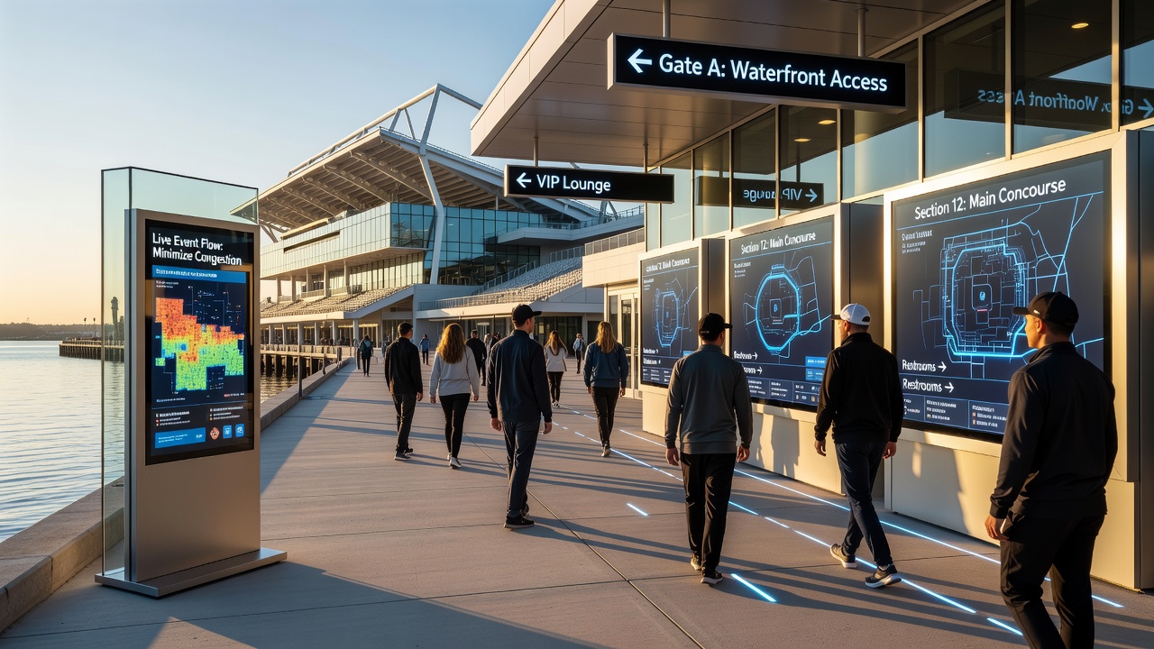
September 2026 marks the scheduled rollout of an expanded beacon network at several major coastal facilities preparing for international tournaments, with planners incorporating lessons from earlier pilot programs that tested crowd prediction algorithms during multi-day festivals. These upgrades focus on reducing dwell time near security checkpoints by pre-loading personalized routes onto attendee devices the moment tickets are scanned at entry points.
Accessibility and Safety Considerations
Standards set by accessibility guidelines require navigation aids to support visual, auditory, and tactile formats simultaneously. Venues achieve this through apps that offer voice-guided directions, high-contrast map overlays, and vibrating haptic feedback on mobile devices for users with limited sight. Observers from university accessibility labs report that venues adopting these multi-format options see higher satisfaction scores among attendees who previously needed staff assistance to reach seating areas.
Safety protocols further shape system design because waterfront locations introduce additional variables such as wave surge warnings and evacuation routes that must account for both land and water exits. Emergency management agencies in Australia have documented how integrated alert systems that push evacuation paths to personal devices cut average clearance times during simulated drills by up to 40 percent compared with older public address methods alone.
Case Examples from Operational Venues
One facility in the Pacific Northwest linked its navigation app to local ferry operators so that attendees arriving by water receive gate-specific walking directions the moment their vessel docks. Usage logs from the first two seasons showed repeat users relying on the feature for 68 percent of their visits. Another venue in the Mediterranean region installed solar-powered digital totems along its promenade that adjust messaging based on wind speed and sun angle, ensuring legibility under varying coastal conditions.
Those who analyzed post-event surveys across these sites found consistent patterns: attendees who used the optimized systems reported fewer instances of backtracking and expressed greater confidence in reaching their destinations even during sold-out events. The data also indicated that peak-hour congestion near food and merchandise zones decreased when routing algorithms steered foot traffic along underutilized secondary paths.
Conclusion
Optimizing navigation in waterfront sports venues requires continuous coordination between physical infrastructure, digital tools, and transportation partners. Evidence from multiple regions demonstrates that layered systems using beacons, adaptive signage, and real-time data feeds deliver measurable improvements in attendee movement and safety outcomes. As facilities prepare for upcoming events in September 2026, ongoing refinements to these platforms continue to shape how crowds navigate complex shoreline environments.